|
2001 August 30 - Bigelow Mtn |
|
|
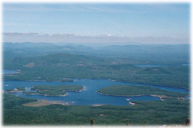
| Looking across Flagstaff lake from Bigelow Mtn (West Peak) |
|
|
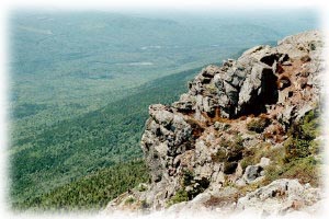
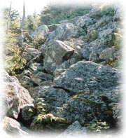
| SW corner of West Peak |
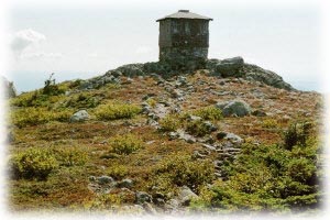
Fire Lookout on Avery Peak |
| Bigelow Mountain has several peaks. The two highest are Avery Peak (4088 feet) and West Peak (4150 feet). Fantastic views. |
|
Directions
3.5 miles west of the Sugarloaf/USA entrance on route 27, find Stratton Brook Road. It is marked by a small wooden sign. 1.6 miles in on this road is the trailhead parking area. From here there are several ways to ascend to various peaks. |
Trail
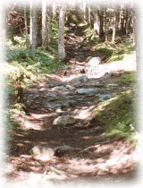 I chose to take Firewarden's Trail up into Bigelow col, since my objective was to bag the two 4000 foot peaks. Much of
the trail is a pleasant hike through hardwood forest (must be very pretty during the fall foliage season). After passing
Moosefalls campsite
I chose to take Firewarden's Trail up into Bigelow col, since my objective was to bag the two 4000 foot peaks. Much of
the trail is a pleasant hike through hardwood forest (must be very pretty during the fall foliage season). After passing
Moosefalls campsite
 at 3.6 miles the trail becomes steeper and more rocky for the final ascent to Bigelow col (1 mile). It is very pretty in the col,
with the forest floor being covered by lush green moss and other vegetation even after the summer drought. From the col it
is 0.3 mile to Avery Peak or 0.4 mile to West Peak.
at 3.6 miles the trail becomes steeper and more rocky for the final ascent to Bigelow col (1 mile). It is very pretty in the col,
with the forest floor being covered by lush green moss and other vegetation even after the summer drought. From the col it
is 0.3 mile to Avery Peak or 0.4 mile to West Peak.
|
![]()